PRECISE DATA ENSURES ACCURACY
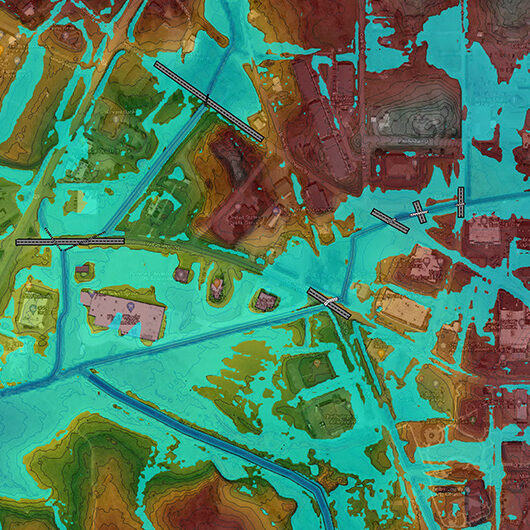
At CDG, we stay on the cutting edge of technology to collect, manage, integrate, analyze, map, model and display geospatial and geographic data. Our experienced team of professionals utilizes the latest field equipment and model and data processing software including the Global Positioning System and unmanned aircraft systems to gather, share and use geographical data for mapping and site analysis. CDG offers a broad range of services in land surveying, geographic information system and photogrammetry for a vast scope of engineering and design projects. We have the capability to efficiently produce deliverable maps and data sets to save time and money. Through our UAS operations, we are able to collect large-scale, real-time aerial photographs before, during and after construction in order to assist in the quality assurance and quality control process.